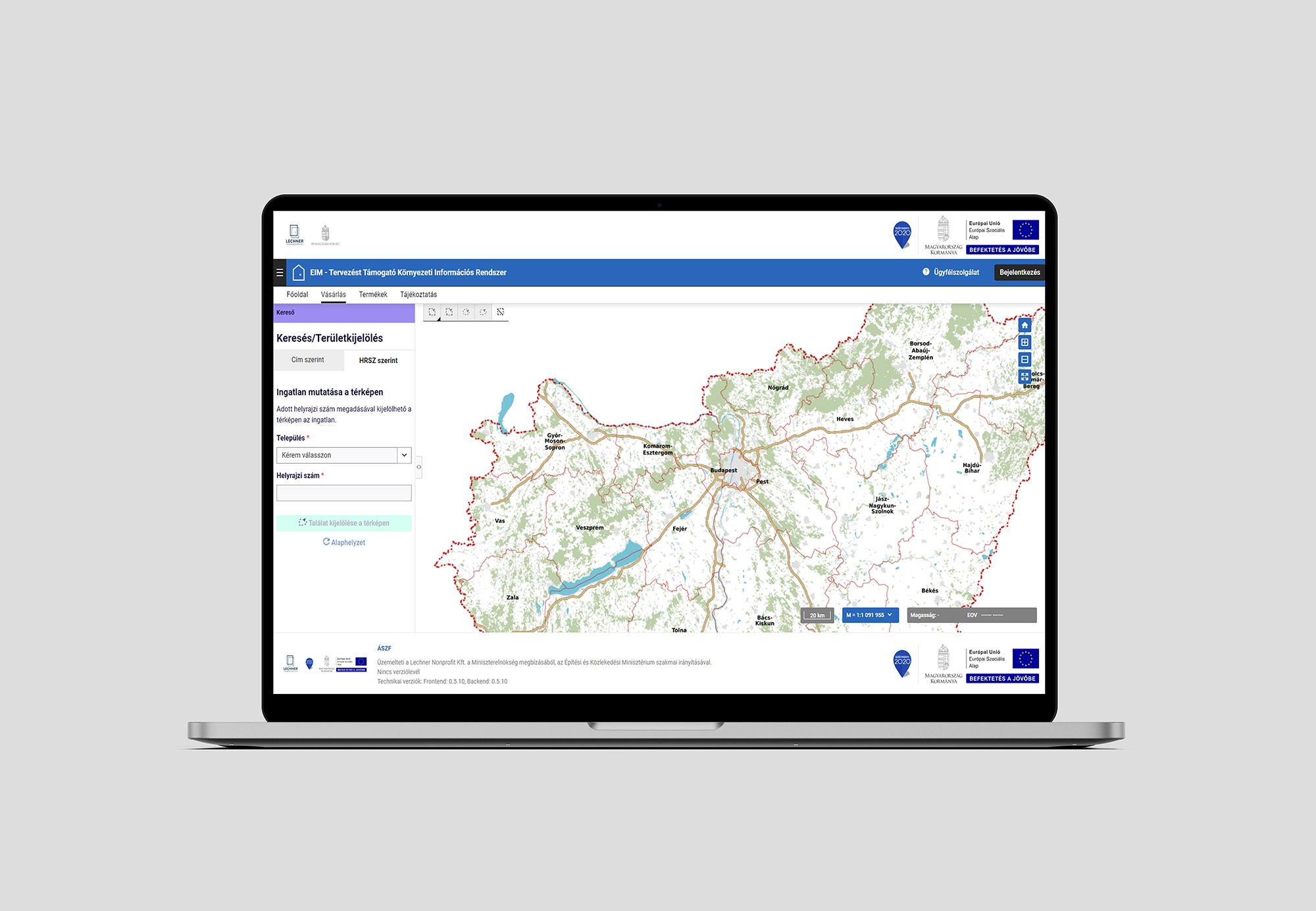
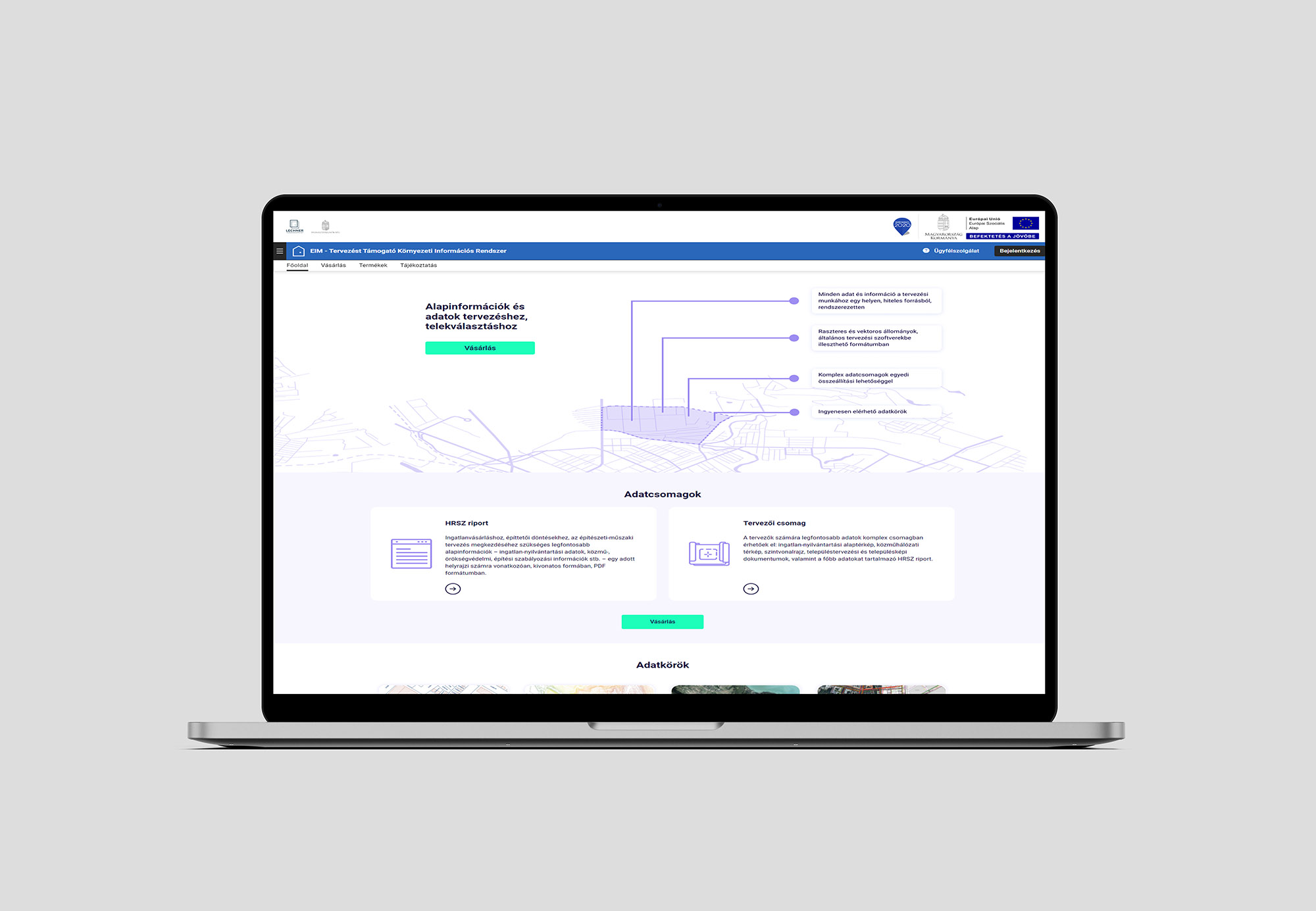
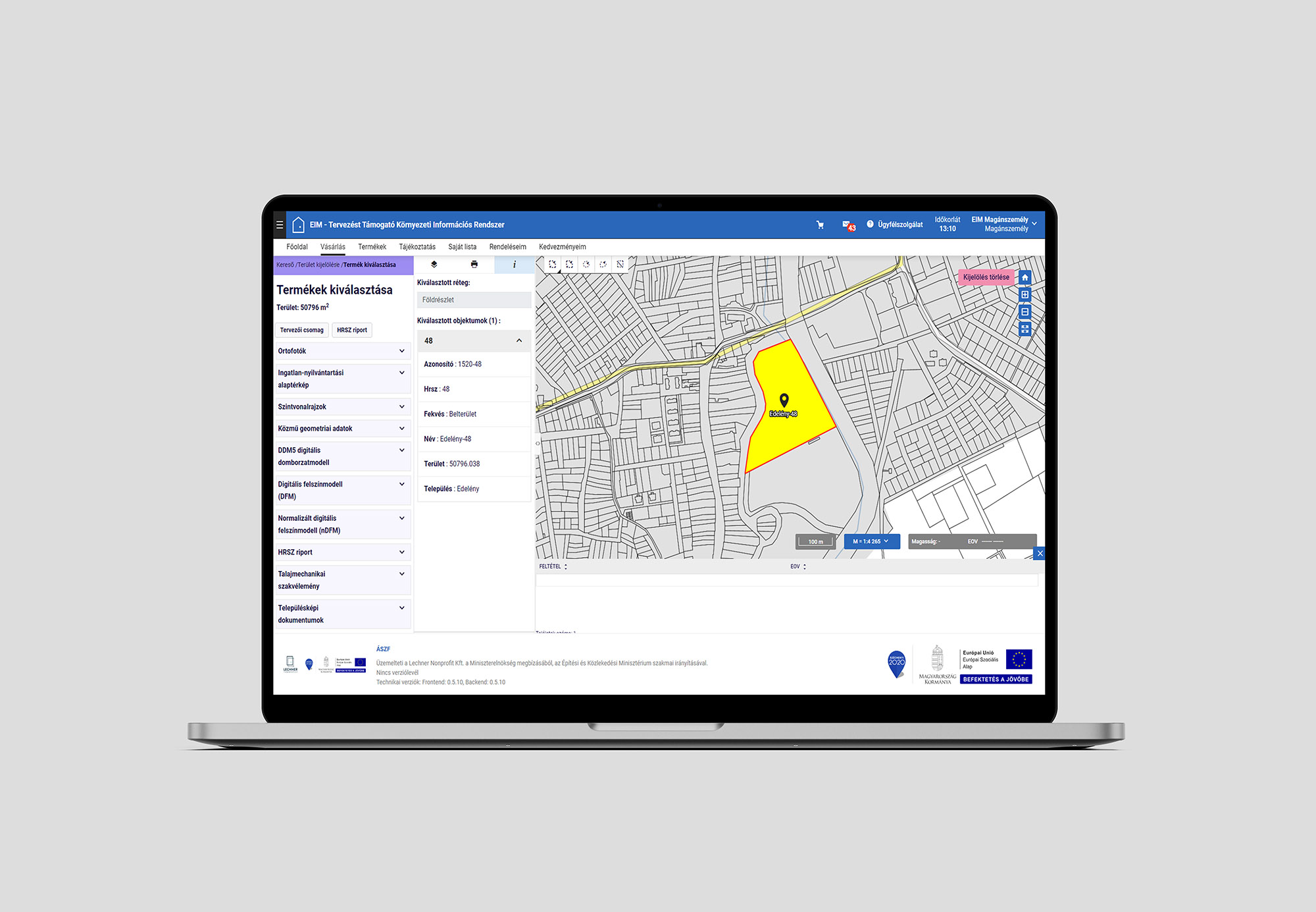
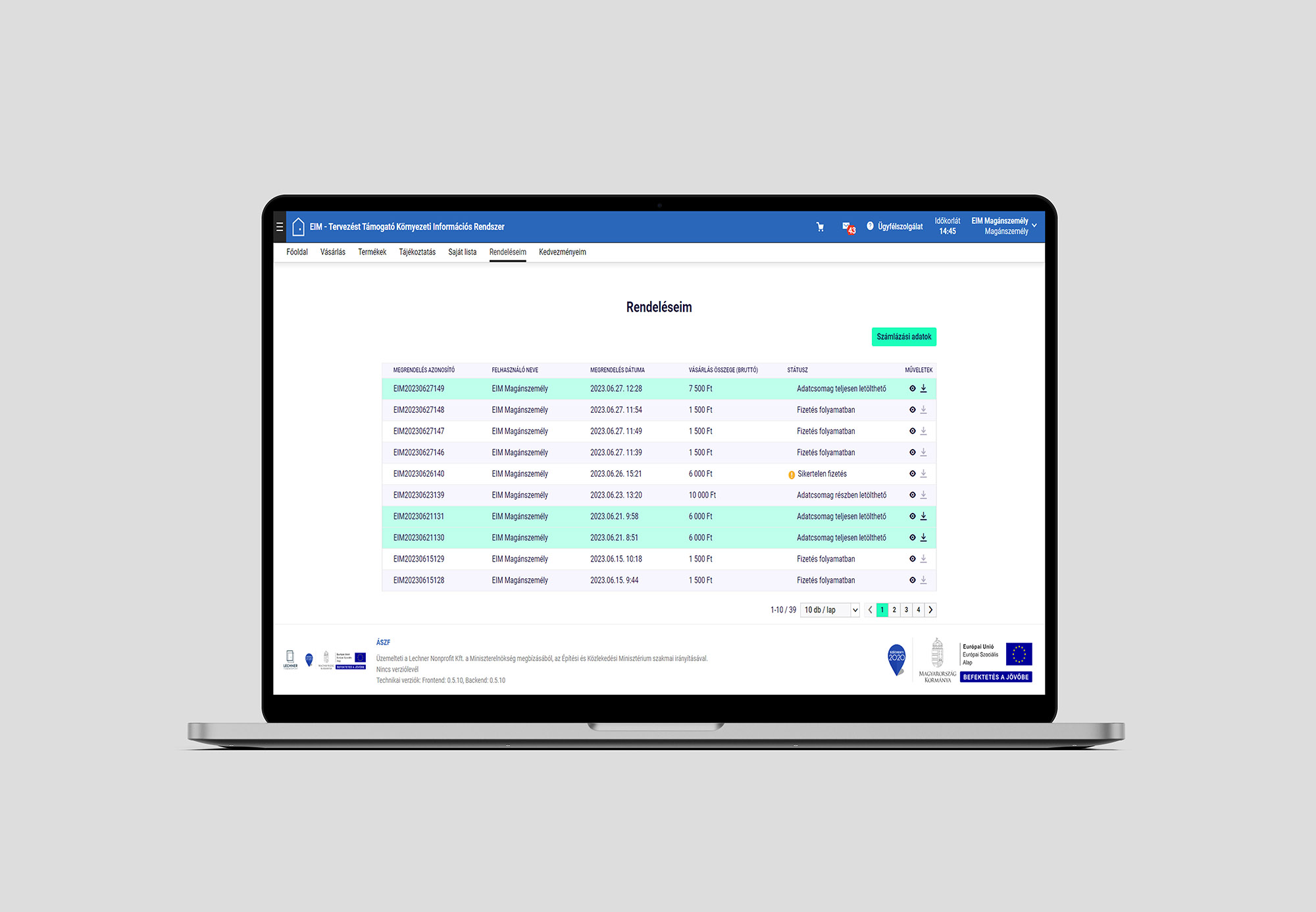
The EIM module is a greenfield development within the framework of the National Register of Construction. The EIM is a webshop-like application based on the services of several specialised systems and registers, which provides complex data services primarily for architects, planners and surveyors. It provides users with all the relevant data and information needed for their design work for a given design area through a single data service. Data essential for planning will be made available to planners as quickly as possible, from a credible source, in a systematic format that can be integrated into common planning software. This will significantly reduce the time and energy spent on pre-planning research. The complex data package, based on spatial queries, includes raster and vector files (e.g. orthophotos, topographic data, utility geometry), regulatory design data and building regulations. In addition, the EIM HRSZ report can also serve as a useful extract for residential users to learn about the defining characteristics of a property, helping them to make the right choice of site before starting the planning process. The module was implemented using Java technology (Spring, Angular).