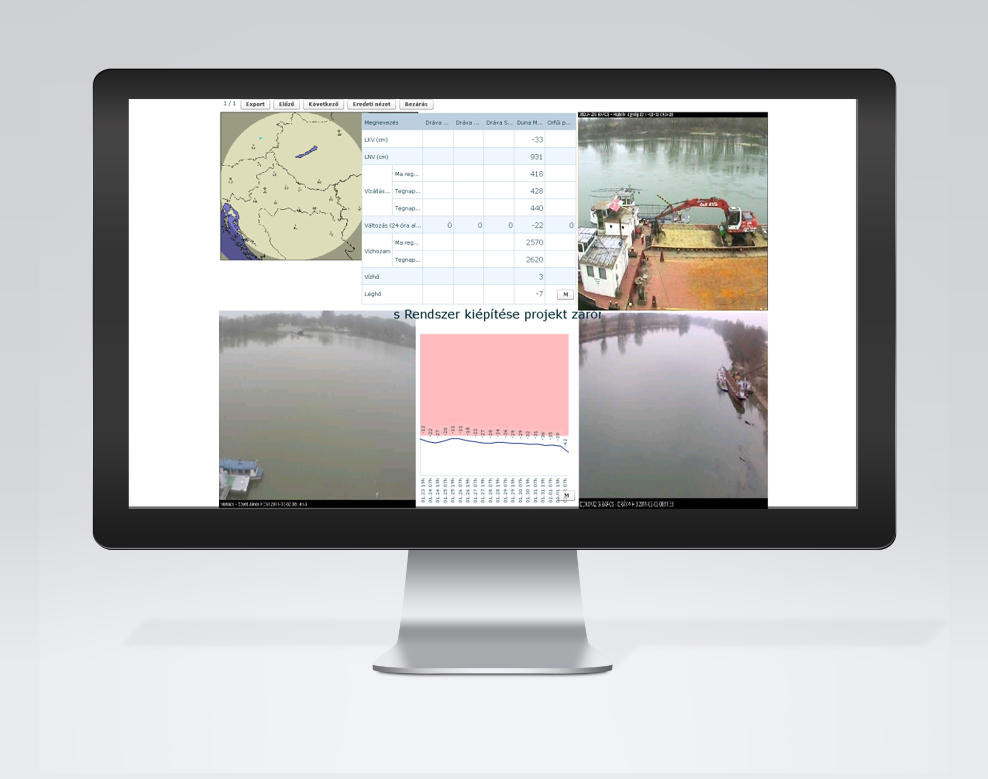
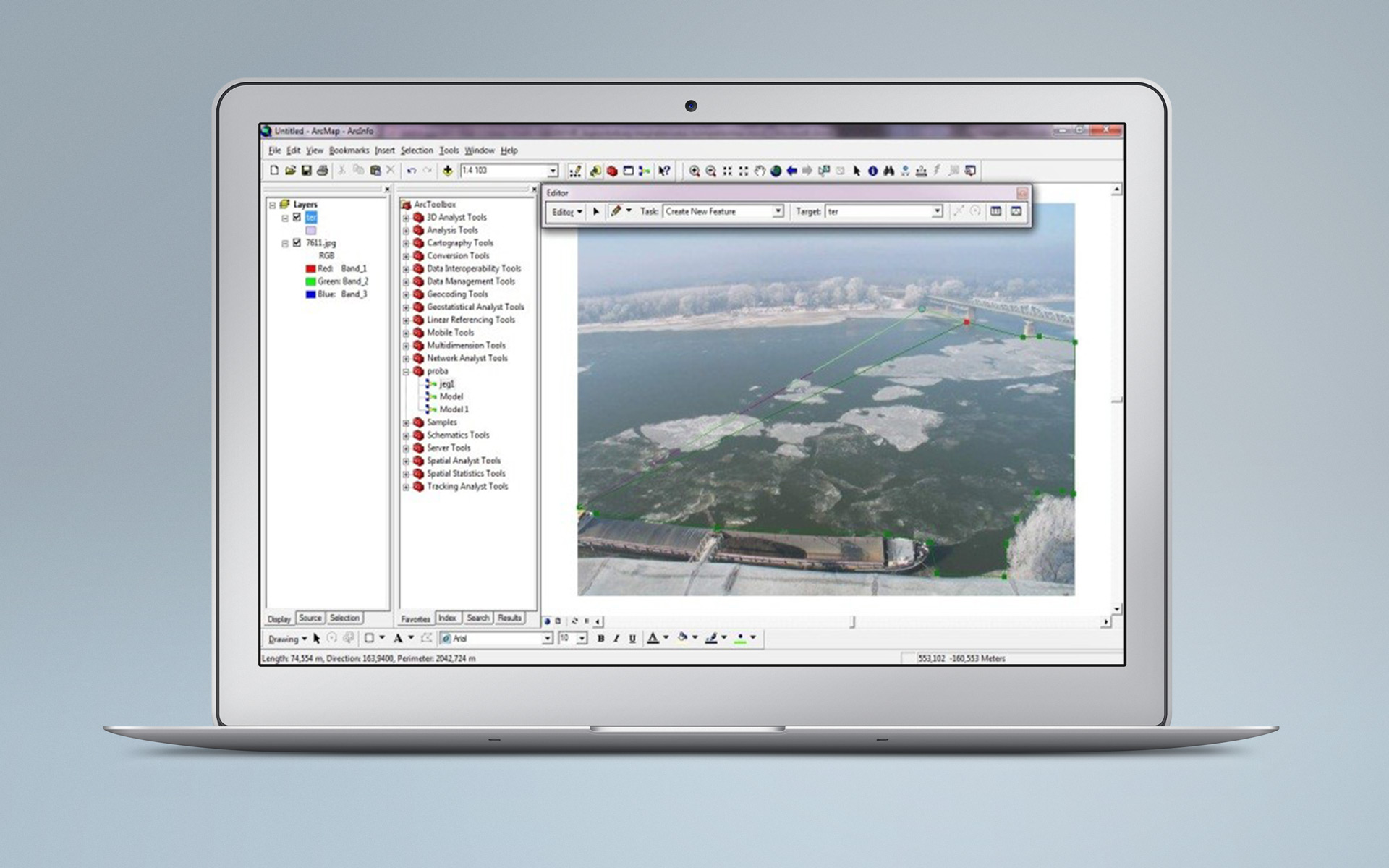
DDVIR is an interactive, constantly updated, multi-faceted geographic information system. It integrates information that previously existed in a scattered manner, with isolated applications and data warehouses used by individual water departments. It provides support for knowledge development, informed environmental and water protection, and the development of related decisions and opinions. The system is composed of 6 modules: archive, presentation, regular and ad hoc maintenance of water bodies, register of areas suitable for the creation of upland lakes and reservoirs, webcams, system administration. Webcams are installed to monitor the status of waters. The system can process and analyse the transmitted real-time or previously recorded archive camera images and automatically determine the parameters of pollution and ice cover, replacing previous field measurements.